Travelers wanting the most up-to-date information about Lane County roads have a new tool. As KLCC’s Brian Bull reports, the app can help them avoid weather-related closures and hazards.
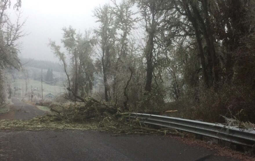
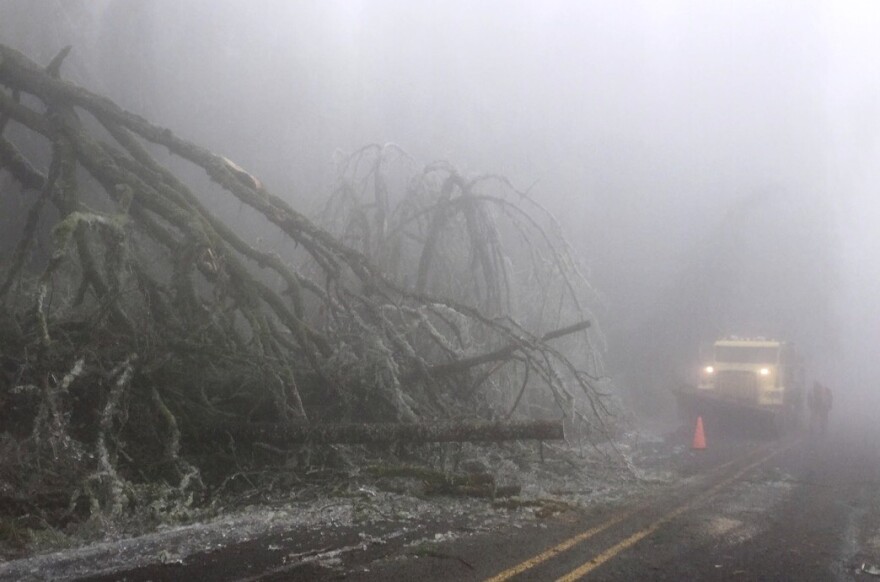
‘Storm Road Tracker’ lets users look for fallen trees, downed power lines, closed roads and bridges, and other problems they might come across driving through Lane County. They can look on a map or search by road names or addresses.
Lane County spokesperson Devon Ashbridge says the tracker’s usable across multiple platforms, from PCs to mobile devices. Developed by the county’s Geographic Information Services Department, ‘Storm Road Tracker’ is still being refined.
“And we’ll continue to improve it," says Ashbridge. "But we were glad to be able to roll it out so that folks could see what was going on given these back to back to back storms , that we’ve been having here. And it’s a great thing just to check before you plan to travel, especially if you live out in rural Lane County.”

Officials want users to know that ‘Storm Road Tracker’ only displays county-maintained roads, and issues already reported.
If someone sees a hazard not shown on the map, they can notify Lane County Public Works.
The app can be found online at https://lcmaps.lanecounty.org/stormroadtracker/.


