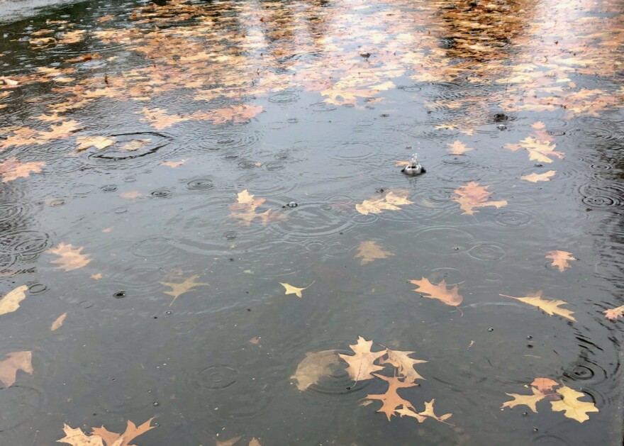
Forecasters say an atmospheric river will bring up to half an inch of rain to the Eugene area over the coming days, with some parts of northern Oregon expected to see up to three inches.
Tanja Fransen, a meteorologist at the National Weather Service in Portland, said atmospheric rivers usually pass through the area during fall and early winter months. The last time one was seen in August was in 2001.
Fransen said atmospheric rivers—a term coined in the 1990s—are accumulations of moisture in the atmosphere that take the long shape of a river, as opposed to the round shape of a hurricane.
The river expected to pass through the region will not end wildfire season, she said, but it may help with the ongoing drought in Oregon.
“Astoria is 2.2 inches down in precipitation since the start of the year. Eugene is 1.2 inches below normal since the start of the year,” she said. “So, to see that precipitation in August is helpful.”
But the precipitation may also bring dangers and challenges.
For people in agricultural areas, Fransen said the rain may make it difficult to “pick their crops and get their crops up. It might be a short-term stoppage (of) that for them.”
And in other areas, the precipitation could cause backflow or clogging of gutters.
On the roads, oil and rubber from the warmer temperatures can combine with the rain to create slick driving conditions.
“Go slow driving through it, and if it’s too high compared to what you’d usually see in a rain event, don’t drive through it at all,” Fransen advised. “Take turns a little bit slower than you normally would.”
Fransen also recommended that people stay up to date on the forecast in their area by checking the National Weather Service in Portland website.


