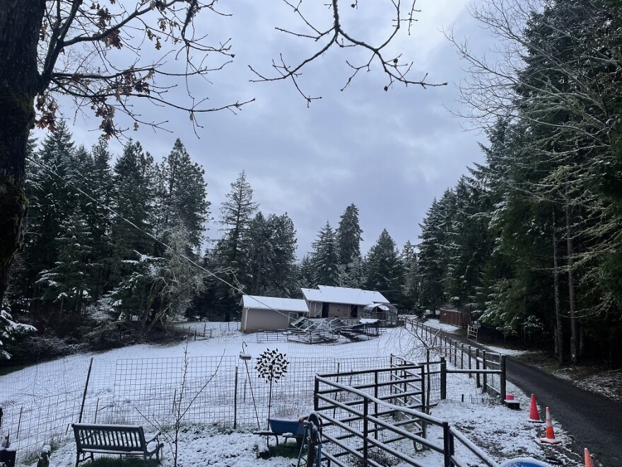
There’s some chance of low elevation snow for Oregon's valleys Wednesday evening into Thursday morning.
Tyler Kranz is a lead meteorologist with the National Weather Service in Portland. He said there are three possible scenarios.
One is for snow in northwest Oregon and southwest Washington.
The second is for snow in the northern Willamette Valley and north/central coast.
The third is for snow in Eugene and the central coast.
If that’s the case, Eugene could see up to two inches of snow. But it’s not expected to stick around.
“If snow did accumulate [in the Eugene area], you’d probably still have some on the ground Thursday night/Friday morning,” he said. “But then Friday afternoon you get even warmer. By the time you get to Friday night, I’d assume most of it would be gone.”
He said to keep an eye on the forecast and road conditions.
“Anyone that has travel plans between 5 p.m. Wednesday and noon Thursday, even if it's on the valley floor, they should be paying close attention to the forecast and they should definitely check road conditions before they hit the road.”
Meanwhile, the Cascades are getting a good dose of snow, but Kranz said it won’t be enough to bring Oregon out of its snow drought.
“We’re not seeing a huge, heavy, dump of snow. We’re not talking 3-6 plus feet of snow, we’re talking about a foot or two of snow up in the mountains over the course of a whole week,” he said.


