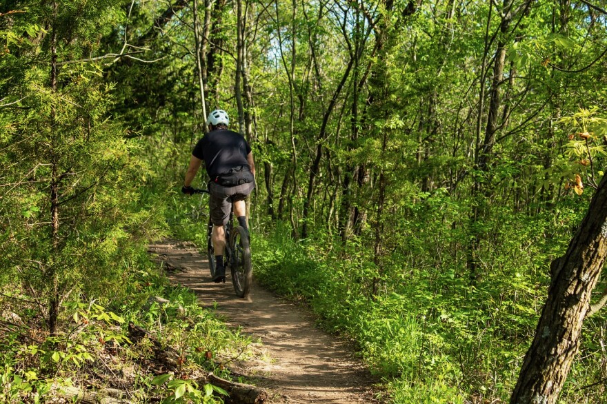
A major bicycle and pedestrian network is being considered in southwest Oregon. It's being called the Rogue-Umpqua bicycle and pedestrian corridor.
Planners envision a 172-mile route connecting Roseburg to Crater Lake, then heading southwest on Highway 62 to Eagle Point.
Cole Grisham is a transportation planner with the Federal Highway Administration Office of Federal Lands. He said ODOT and the Forest Service jointly applied for funds through the Federal Lands Access Program.
“At around the same time they applied," he said, "there were also this series of major wildfires in that corridor. So as the project was selected, there is actually a new dimension to be looking at. Not just bicycle and pedestrian improvements, but how you look at those improvements in relationship to post-wildfire recreation and recovery as well.”
Grisham said over the next two years the groups hope to understand current and future bike and pedestrian use, and prepare rough designs and costs. He said designs could include anything from improved shoulder space with painted bike lanes to off-highway, improved trails.
He added they’ll also look to install “viewsheds,” or areas where the public can witness forests recovering from wildfire.


