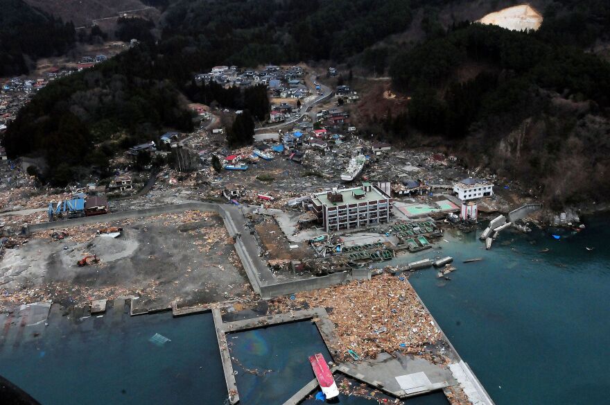
Improved forecasts and warnings of tsunamis are the goal of university scientists in the Pacific Northwest. KLCC’s Brian Bull explains.
Work is underway on a four-year project funded with $800,000 from NASA. The University of Oregon and University of Washington are splitting that grant.
Diego Melgar is the project leader, and Earth Sciences professor at the U of O.
He says it’s all to help the National Oceanic and Atmospheric Administration (NOAA) be precise.
“And our hope is that it will also help to model that tsunami very, very quickly, so they can forecast what the tsunami heights, their amplitudes will be, all along the Cascadia coastline," says Melgar.
"And our goal is to be able to do this in five minutes. So from the earthquake starting, to the tsunami forecast being issued, we are working on that five minute timeline.”
The project uses 500 GPS monitoring sites along the Cascadia coastline’s 600-mile stretch from Northern California into British Columbia. Timeliness of warnings and knowing the magnitude of a tsunami can help save lives.
Copyright 2019, KLCC.


